Unlock the Future of Surveying with Advanced Surveying Drones
In today’s fast-paced world, precision, efficiency, and safety are the cornerstones of any successful surveying project. Whether you’re working in construction, environmental monitoring, or urban planning, traditional methods of data collection are being rapidly replaced by advanced technological solutions. Enter the surveying drone — a game-changer for the industry.
Why Surveying Drones Are a Game-Changer
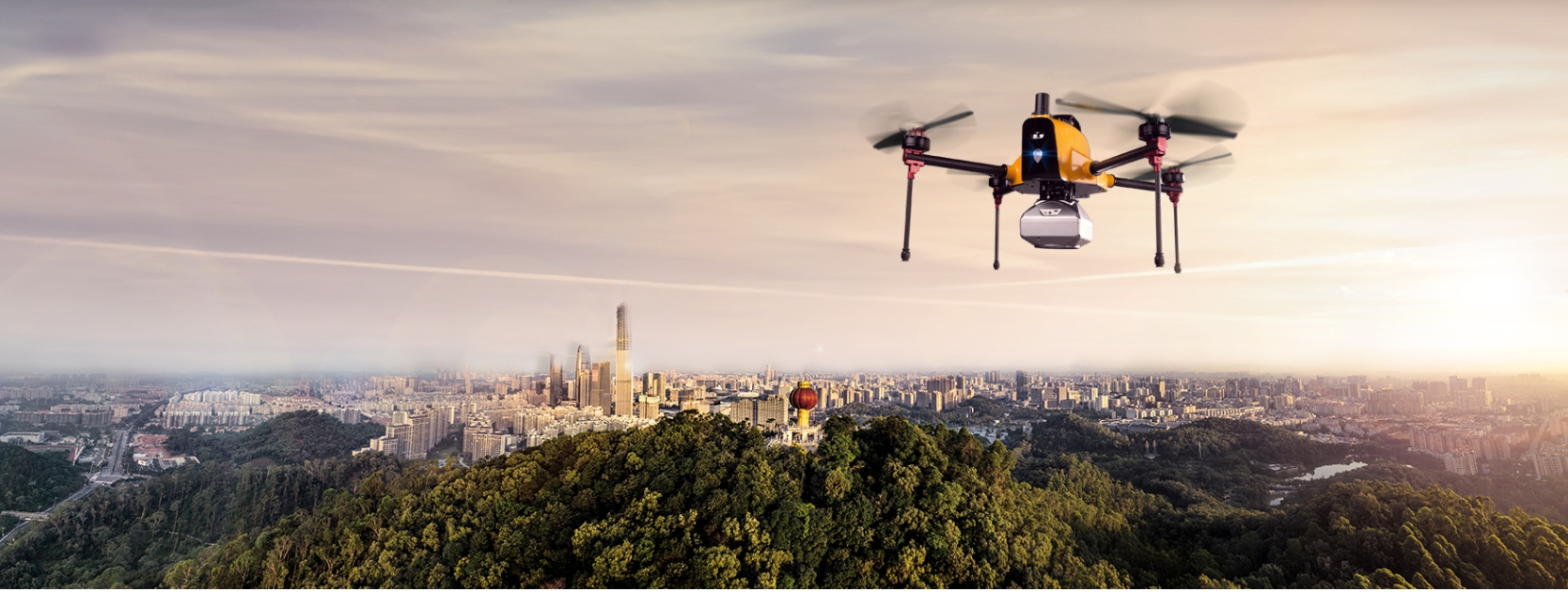
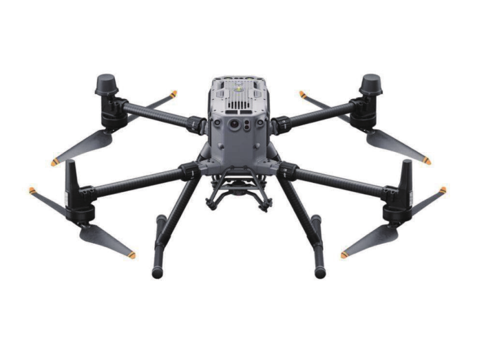
Surveying drones are revolutionizing the way data is collected and analyzed. Equipped with high-resolution cameras, LiDAR sensors, and advanced GPS technology, these drones provide accurate, real-time data that would otherwise take days or even weeks to gather using conventional methods. The ability to access hard-to-reach or hazardous areas without risking human life is another significant benefit.
Precision and Accuracy Like Never Before
Surveying drones deliver a level of accuracy and detail that traditional surveying equipment can’t match. With automated flight paths and sophisticated onboard sensors, drones can capture millions of data points in just a few hours. Whether you’re conducting a topographic survey or mapping out the contours of a construction site, drones ensure that every measurement is precise to the millimeter.
Cost-Effective and Time-Saving
Time is money, and surveying drones allow businesses to save both. The speed at which drones collect data dramatically reduces project timelines. What would traditionally take several surveyors days to complete can now be accomplished in a fraction of the time with fewer resources. This not only cuts labor costs but also minimizes the need for costly equipment and transportation.
Enhancing Safety in Challenging Environments
Surveying in remote or dangerous locations can be risky. Cliffs, mountains, flood zones, and unstable construction sites pose significant safety concerns. Drones take on the risk, allowing you to gather vital data without endangering your team. Whether you’re working in a hazardous terrain or a dangerous environment, drones ensure the safety of your crew while still delivering the data you need.
Versatility Across Industries
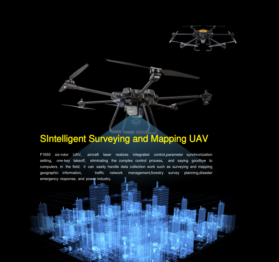
The versatility of surveying drones is unmatched. From civil engineering projects to agricultural surveys and environmental studies, drones can be adapted for a wide range of applications. They can collect topographical maps, assess vegetation health, inspect infrastructure, and monitor land use changes—all while saving time and money.
Seamless Integration with Data Processing Software
Once your drone has completed the survey, the real power lies in the ability to quickly process and analyze the data. Most modern surveying drones come equipped with integration capabilities for various data processing software platforms. This allows professionals to generate 3D models, orthophotos, digital elevation models, وأكثر من ذلك, all in a matter of hours.
لماذا أخترتنا?
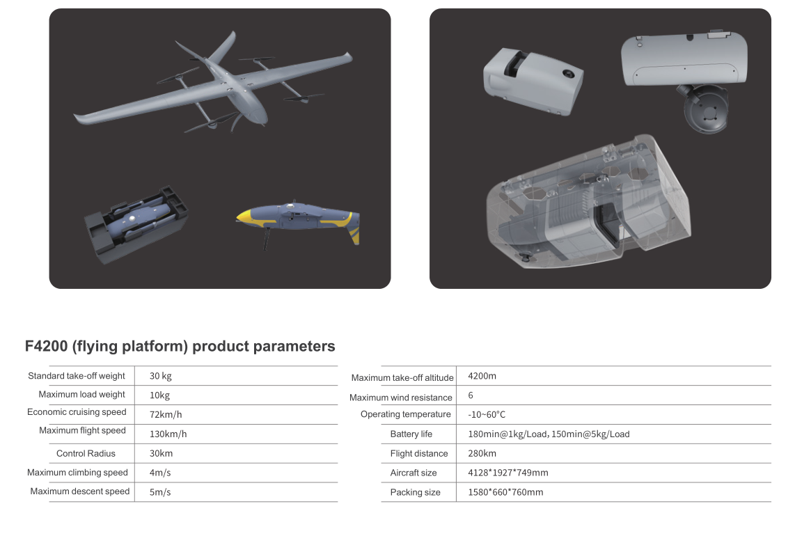
At GIM, we offer cutting-edge surveying drones that are engineered for both efficiency and accuracy. Our drones are equipped with the latest in GPS and sensor technology, making them the perfect tool for any surveying project. Whether you’re looking to streamline your operations, improve data accuracy, or enhance safety, our drones provide all the benefits you need.
The Future of Surveying Is Now
Surveying drones are no longer a futuristic concept—they are a reality shaping the industry today. With their ability to collect data faster, more accurately, and more safely, drones are redefining the standards of surveying. The question is no longer if you should integrate drones into your surveying process, but when.
Take your surveying operations to new heights with GIM. Embrace the future of precision, efficiency, and safety with our state-of-the-art surveying drones.
🔗اتصل بنا
✅ Website: greenimtech.com
✅ Email: jackl@greenimtech.com
 ذكي
ذكي