Mehrstrahlige Unterwasservermessung: Die Geheimnisse der Tiefe entschlüsseln
Exploring the ocean—Earth’s “final frontier”—relies heavily on cutting-edge underwater surveying technologies. Among these, multibeam surveying has emerged as a groundbreaking method, offering unprecedented precision and efficiency. In this blog, we’ll dive into the world of multibeam technology, exploring its principles, anträge, and the potential it holds for future advancements.
What is Multibeam Underwater Surveying?
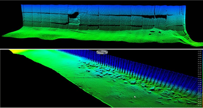
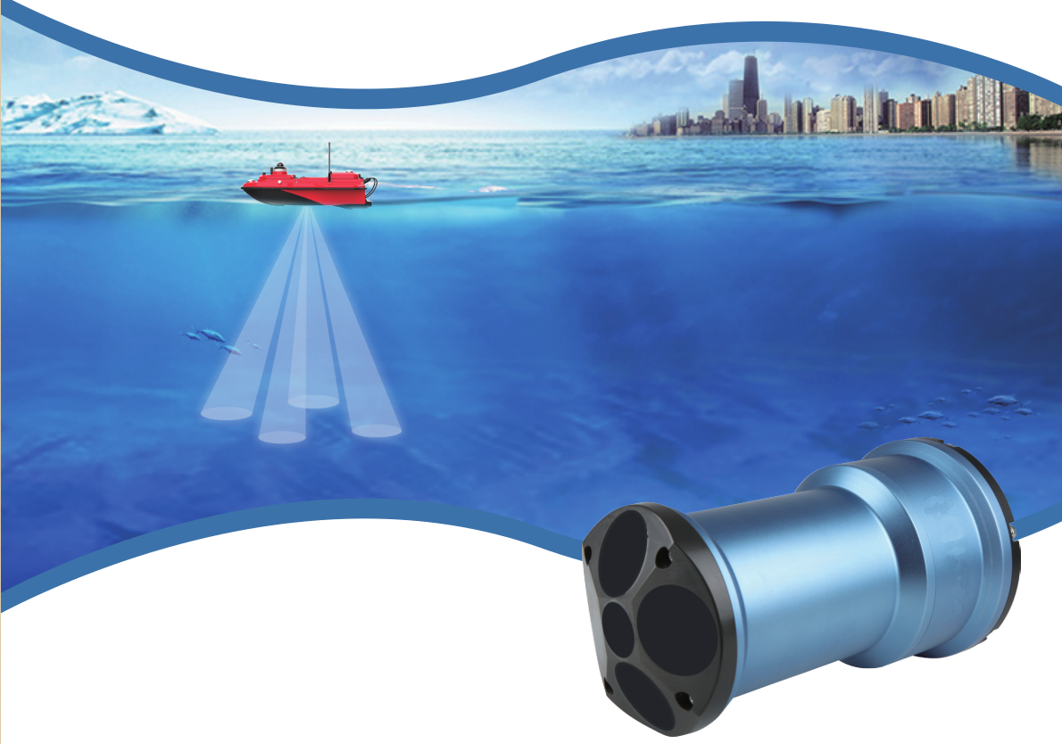
Multibeam surveying is a technique that uses multiple sonar beams to measure underwater topography and seafloor features. Unlike traditional single-beam sonar, which collects data in a narrow strip, multibeam systems capture data across a wide swath, dramatically increasing efficiency and accuracy.
How It Works:
- Emission and Reception of Sound Waves:
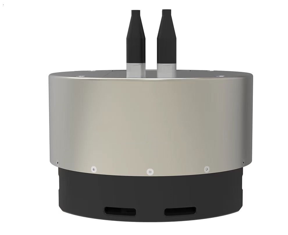
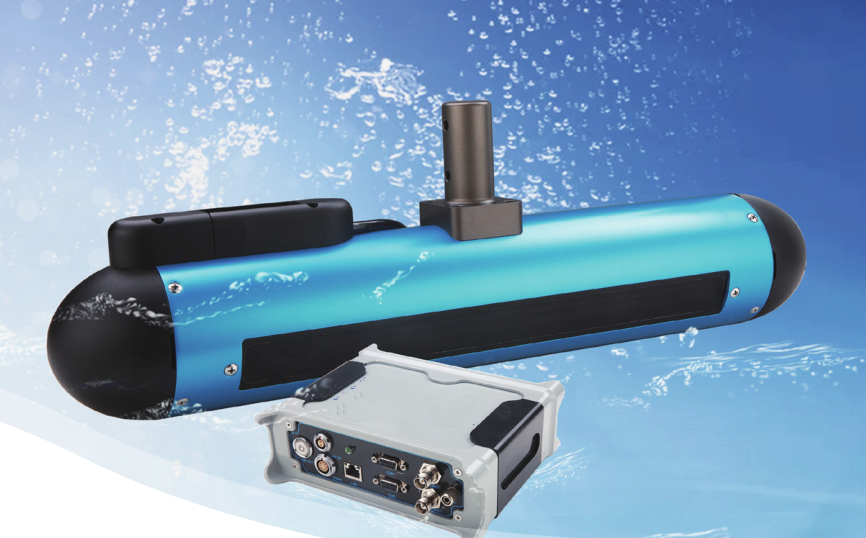
Multibeam sonar systems emit sound waves via a transmitting transducer and receive the echoes through a receiving array. 
- Time-of-Flight Calculations:
The system measures the time it takes for sound waves to travel to the seafloor and back, calculating the distance for each beam. - Data Integration:
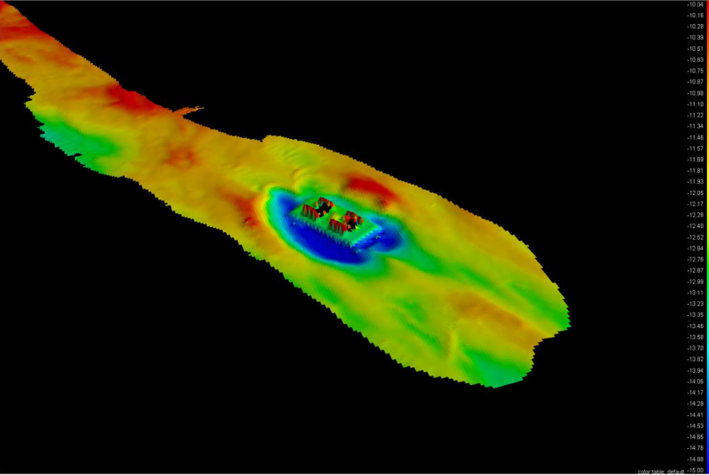
Advanced algorithms process the collected data to create detailed two-dimensional and three-dimensional maps of the seafloor. 
Advantages of Multibeam Surveying
- Wide Coverage:
A single pass can cover a broad fan-shaped area, significantly reducing survey time. - High Resolution:
The generated 3D maps provide detailed and accurate representations of underwater terrain. - Exceptional Precision:
By integrating GPS and inertial navigation systems, multibeam surveys achieve centimeter-level accuracy. 
Applications of Multibeam Surveying
- Marine Scientific Research:
Multibeam systems are essential for mapping seafloor topography, studying sediment distribution, and monitoring geological hazards. - Ocean Resource Exploration:
They are widely used in locating and assessing seabed mineral resources, aiding sustainable resource extraction. - Underwater Engineering:
Accurate bathymetric data supports subsea pipeline installation, offshore wind farm foundation placement, and other infrastructure projects. - Maritime Safety:
Multibeam technology plays a vital role in clearing navigational channels, shipwreck salvage, and detecting underwater obstructions to ensure safe passage.
Challenges and Future Prospects
Despite its advancements, multibeam surveying still faces several challenges:
- Adaptation to Harsh Environments:
Signal attenuation and noise interference in deep-sea or turbid waters remain significant obstacles. - Data Processing Demands:
The vast amount of data collected necessitates efficient real-time processing and automated analysis tools.
Future Trends:
- Higher Frequencies and Resolutions:
Developing advanced high-frequency multibeam sonar to enhance data quality. - AI and Machine Learning:
Leveraging intelligent algorithms for automated data analysis and feature detection.
- Sensor Integration:
Combining multibeam systems with optical, magnetic, and gravity sensors to enrich data collection and interpretation.
Conclusion
With its unparalleled efficiency and accuracy, multibeam underwater surveying is revolutionizing how we explore and understand the ocean. From scientific research to resource development and safety assurance, this technology is indispensable. As advancements continue, multibeam surveying will further unveil the mysteries of the deep, empowering humanity to protect and utilize ocean resources more effectively.
If you’re curious to learn more about multibeam technology, feel free to share your thoughts or questions in the comments!
Shenzhen Green Zhizao Technologie Co., GmbH.
 Intelligent
