Sistema inteligente de medición de caudal UAV-F900
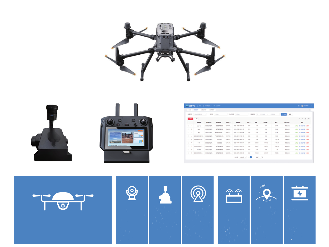
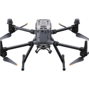
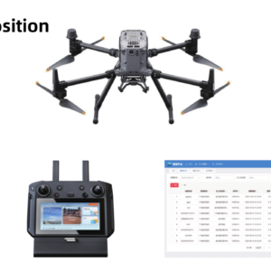
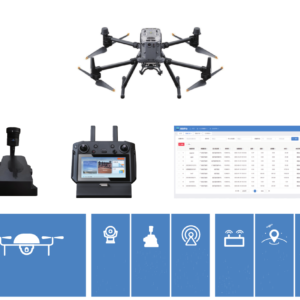
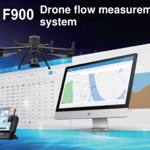
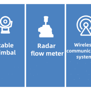
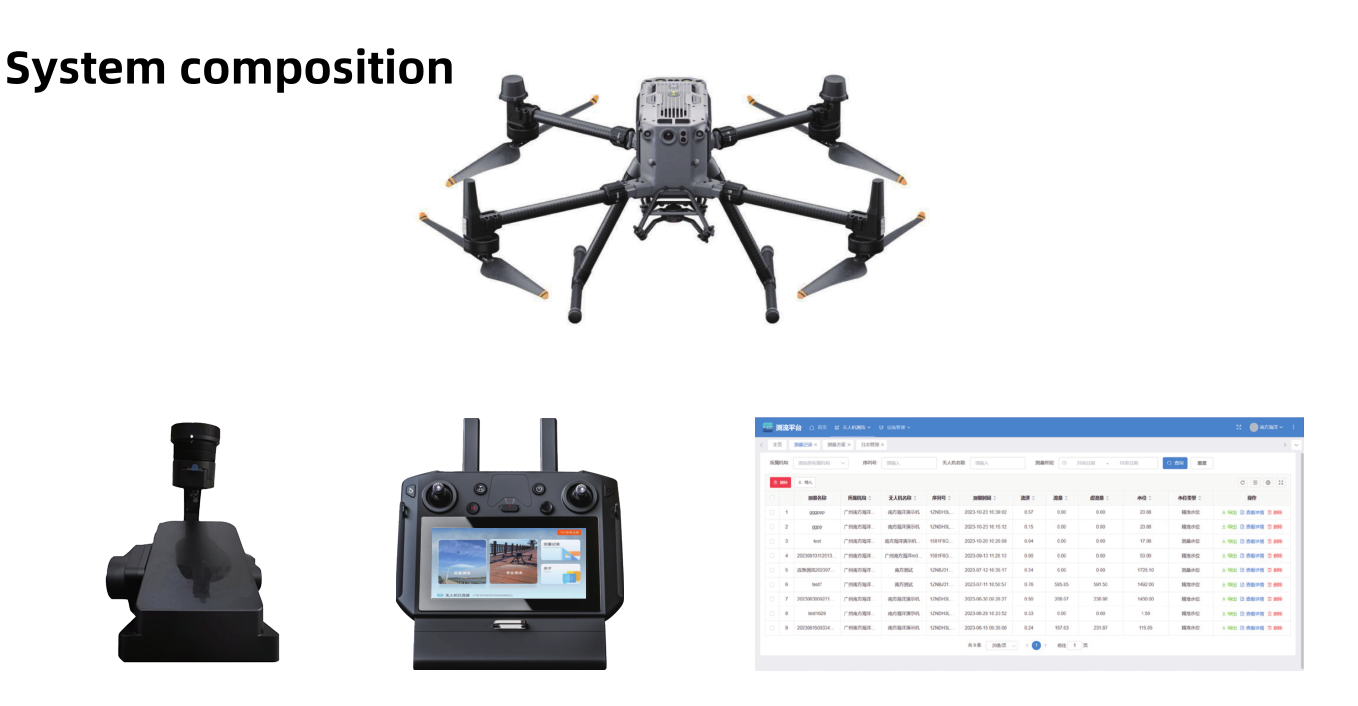
The F900 UAV flow measurement system is a professional flow measurement system consisting of a UAV, a professional radar flow meter, a ground control system, a data platform, etcetera.
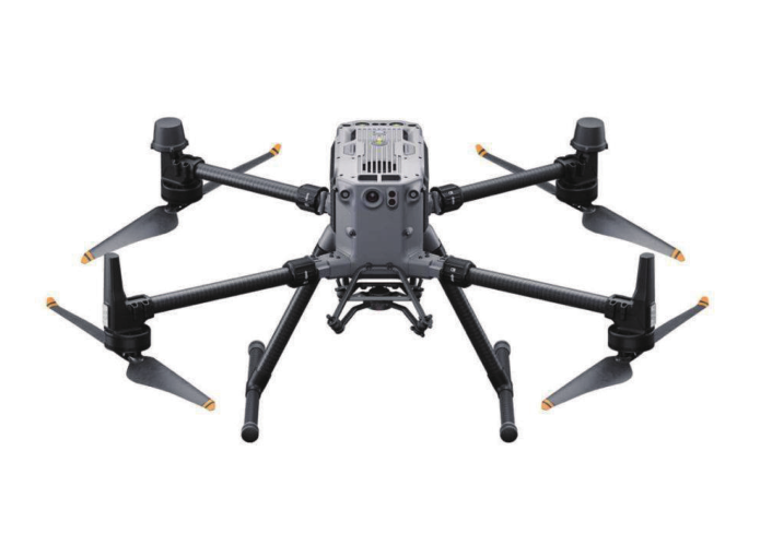
With its extremely simplified operation, safe and reliable, and easy-to-carry working method, the F900 can quickly and accurately measure the surface flow velocity of rivers, lakes and water bodies. The ultra-long-distance high-definition image transmission system can reach a distance of 15KM, and can transmit the video images and meteorological information of the UAV flight environment to the ground. The flow measurement personnel do not need to go to the site in person, thus protecting the safety of the test personnel and equipment.
The UAV flow measurement system can be equipped with optional modules such as a throwing electronic buoy, an automatic water extraction module, and a three-dimensional laser scanner to achieve multi-functionality.
Features
Safe and stable flying platform tested by users around the world; 55 minutes of long-range flight without load, supports long-distance and multi-frequency use; strong environmental adaptability, resistant to 15m/s strong wind and light rain weather; six-way positioning obstacle avoidance, automatic identification of surrounding obstacles, ensuring the safety of each operation; hot battery replacement, no need to turn on or off the machine to replace the battery; flow measurement accuracy up to 0.01m/s; manual + automatic measurement mode, Adecuado para más escenarios; automatic report generation, Internet cloud viewing and backup; high-precision three-axis gimbal to ensure stable posture during aerial operations; fast and flexible, with a maximum flight speed of 23m/s; real-time control of flight information; simple and easy to use, simple process-based operation; arbitrary switching between maps and video images, immersive measurement; rich expansibility, can mount different sensors to achieve functions such as water collection, flow measurement, and terrain measurement.

 Inteligente
