Caja de inspección de agua de muelle de barco no tripulado S20
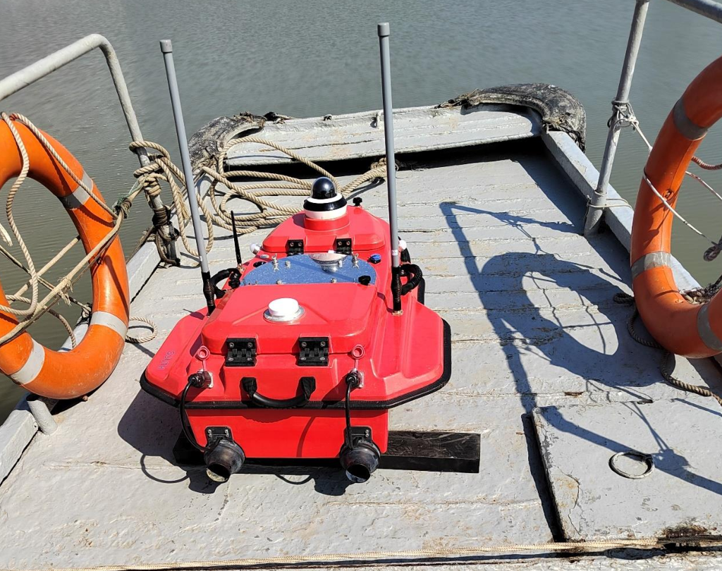
Demand source
At the invitation of a research institute, relevant staff of our company carried S20 multi-beam unmanned boat and M400 multi-beam bathymetry system to conduct demonstration measurement of the planned area on November 5, 2024.
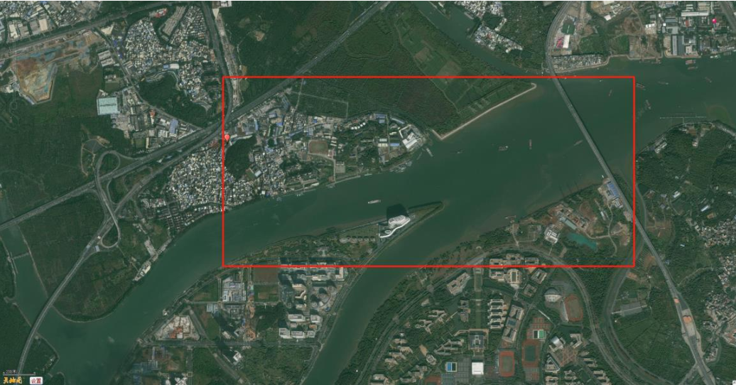
Measurement range
Measurement range: waters near a dock. As shown in the figure below:
Measurement system
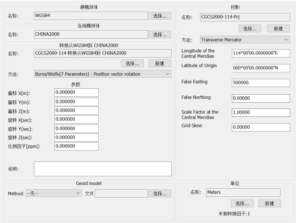
Plane coordinate system: CGCS**** coordinate system, Gauss projection 3 degree zone, central meridian *** degree.
Elevation system: ***
Plane and elevation control:
1. Plane control: Use CORS, with centimeter-level accuracy
2. Water level control measurement: This measurement uses GNSS non-tidal depth measurement mode, network CORS, positioning data sampling rate is not less than 1Hz, and GNSS elevation accuracy is better than 0.1m.
Main instruments and equipment and performance
S20 multi-beam unmanned ship measurement system
(1) Multi-beam measurement system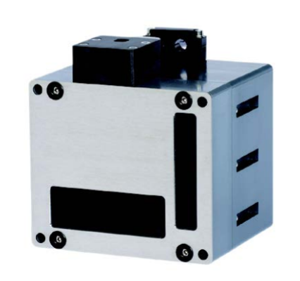
Model: M400
Origin: China
Technical indicators:
➢ Ultra-portable and low-cost
➢ 200-450kHz, optional 700kHz, adjustable in 1Hz steps
➢ Variable strip width 10° to 130°
➢ Maximum 1024 beam points
➢ Maximum 1.8°×1.8° beam width
➢ Embedded processor and controller
➢ Ultra-light, ultra-small, ultra-low energy consumption
(2) Unmanned ship
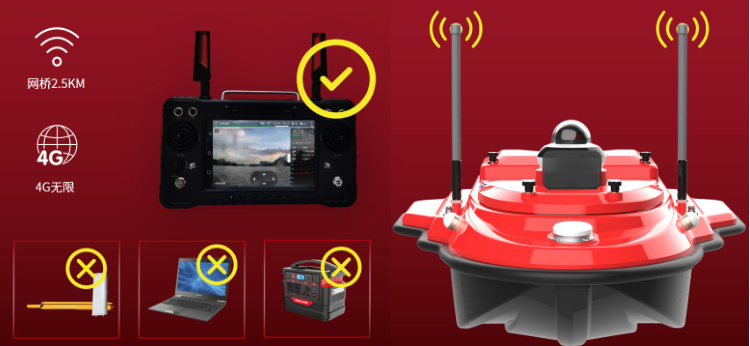
Model: S20 intelligent unmanned ship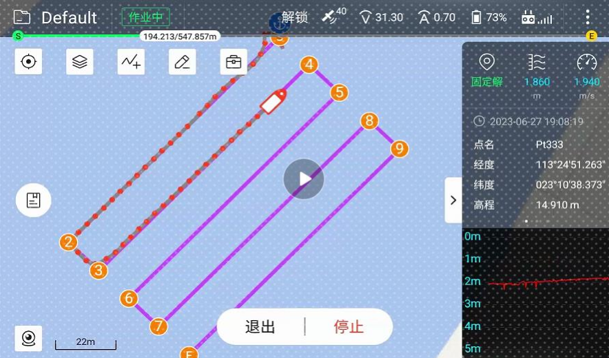
Origin: China
Function: The system can realize manual remote control and automatic navigation, and can quickly and accurately measure and collect parameters such as the location, water depth, flow rate, water quality, etcetera. of the navigation area, and the cross-section navigation is accurate.
Through the post-processing of the unmanned ship special software, it can also generate underwater topographic maps and calculate reservoir capacity or engineering volume.
 Inteligente