Sonda de barrido lateral vs. Sonda multihaz: Comparación de dos tecnologías de topografía submarina
En la topografía submarina, Exploración marina, y seguimiento de las pesquerías, La tecnología de sonar desempeña un papel crucial en la captura de datos precisos. Ya sea para la cartografía de los fondos marinos, Detección de obstáculos subacuáticos, o exploración de recursos marinos, El sonar proporciona la información necesaria para comprender el entorno submarino. Dos de las tecnologías de sonar más utilizadas son: Sónar de barrido lateral y Sónar multihaz. Estos sistemas difieren significativamente en sus principios de funcionamiento, Aplicaciones, y ventajas. Entender estas diferencias es esencial a la hora de elegir el equipo adecuado para su proyecto.
En este artículo, Exploraremos las diferencias entre el sonar de barrido lateral y el sonar multihaz, Ayudándole a comprender las características únicas de cada sistema, Sus ventajas, y sus aplicaciones ideales.
1. Principios básicos de funcionamiento
1.1 Sonda de barrido lateral
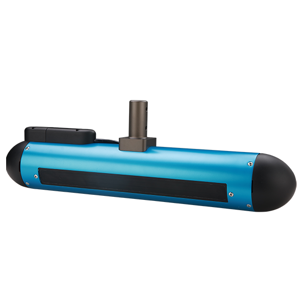
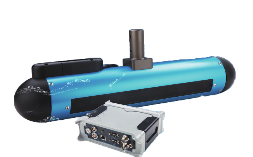
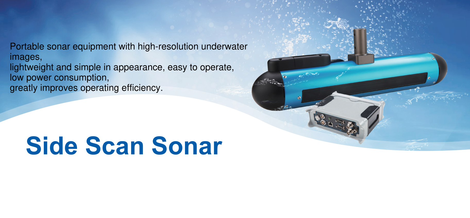
El sonar de barrido lateral es un sistema que utiliza ondas de sonar para crear imágenes del fondo marino y de objetos submarinos. El sonar emite ondas acústicas desde transductores montados en los costados de una embarcación. Estas olas viajan a través del agua, se reflejan en el fondo marino o en objetos subacuáticos, y volver al sensor. Midiendo el tiempo que tardan en volver las ondas sonoras y su intensidad, El sistema genera una imagen de la superficie submarina.
- Método de escaneo: El sonar de barrido lateral emite ondas acústicas en forma de abanico o hacia los lados para explorar el fondo marino lateralmente.
- Salida de imágenes: Produce una imagen 2D, que se asemeja a un "mapa de la tira"," Adecuado para la detección de objetos submarinos, Estructuras, y características del fondo marino.

1.2 Sonda multihaz
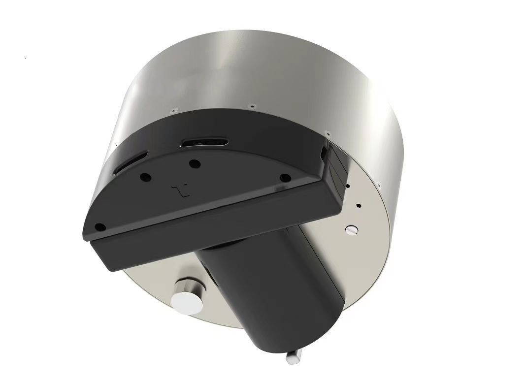
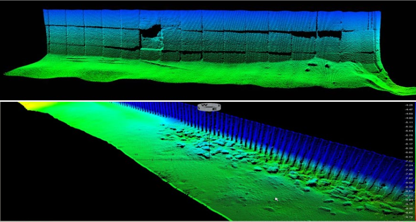
El sonar multihaz emite múltiples haces de sonar simultáneamente, cubriendo un área más amplia en un patrón en forma de abanico o en forma de sector. Los transductores de sonar emiten haces en diferentes ángulos, Captura de datos de varios puntos a la vez. Al procesar estas devoluciones, El sistema genera imágenes tridimensionales detalladas del fondo marino y las características submarinas.
- Método de escaneo: El sonar multihaz utiliza múltiples haces para explorar una amplia franja del lecho marino, Proporcionar mediciones de profundidad simultáneas en varios ángulos.
- Salida de imágenes: Genera mapas 3D del fondo marino, lo que permite mediciones de profundidad precisas y mapas topográficos detallados.

2. Diferencias clave
2.1 Método de imagen y salida de datos
- Sonda de barrido lateral: La sonda de barrido lateral produce principalmente un sonido 2D “Mapa de la franja” del fondo marino. Si bien proporciona imágenes detalladas de objetos submarinos, Naufragios, Rocas, y otras estructuras, No ofrece información en profundidad. Así, El sonar de barrido lateral es el más adecuado para detectar e identificar objetos en el fondo marino o dentro de la columna de agua.
- Sonda multihaz: La sonda multihaz proporciona datos en 3D, permitiendo la generación de batimetría precisa del fondo marino. Captura mediciones de profundidad detalladas en un área grande, Elaboración de un mapa topográfico completo del paisaje submarino. Esto hace que el sonar multihaz sea ideal para estudios del fondo marino a gran escala y mediciones precisas de profundidad.
2.2 Rango de cobertura
- Sonda de barrido lateral: El sonar de barrido lateral suele cubrir horizontalmente un área más amplia, pero tiene un alcance vertical relativamente limitado, A menudo hasta 4 Para 6 multiplicado por la profundidad del agua. Es ideal para el escaneo amplio de características submarinas, pero carece de la capacidad de proporcionar datos de profundidad precisos.
- Sonda multihaz: La sonda multihaz ofrece una cobertura más amplia y profunda, A menudo se logra un rango de escaneo horizontal de 10 Para 12 multiplicado por la profundidad del agua. No solo es capaz de cubrir grandes áreas, sino que también proporciona información precisa sobre la profundidad, lo que lo hace ideal para la cartografía del fondo marino a gran escala y la exploración de aguas profundas.

2.3 Costo y complejidad
- Sonda de barrido lateral: El equipo de sonar de barrido lateral es relativamente más sencillo, Más ligero, y menos costoso. Es más fácil de operar y mantener, lo que lo convierte en una opción popular para levantamientos a menor escala o tareas rápidas de detección de objetos. El menor costo lo hace accesible para una variedad de industrias, incluida la pesca y el seguimiento del medio ambiente.
- Sonda multihaz: Los sistemas de sonar multihaz son más complejos y tienen un precio más alto. Requieren capacidades avanzadas de procesamiento de datos, Múltiples sensores, y un operador más capacitado. Sin embargo, El aumento de la inversión se justifica por la capacidad del sistema para proporcionar alta resolución, 3D Cartografía del fondo marino y datos precisos de profundidad, que es esencial para la topografía marina a gran escala y la exploración en aguas profundas.
2.4 Aplicaciones ideales
- Sonda de barrido lateral: La sonda de barrido lateral es ideal para Detección de objetos subacuáticos, Cartografía de los fondos marinos, Ubicación del naufragio, Evaluación de los recursos pesqueros, y Operaciones de búsqueda y recuperación. Su capacidad para generar imágenes de alta resolución de áreas específicas lo hace perfecto para detectar objetos sumergidos, Desechos marinos, y obstáculos submarinos.
- Sonda multihaz: La sonda multihaz es adecuada para Cartografía de los fondos marinos, Levantamientos batimétricos, Estudios geológicos, y Exploración de aguas profundas. Proporciona datos completos sobre la topografía del fondo marino, lo cual es esencial para los proyectos de construcción submarina, vigilancia ambiental, e ingeniería costa afuera.

3. Resumen
Si bien tanto el sonar de barrido lateral como el sonar multihaz son herramientas poderosas para la topografía submarina, difieren significativamente en términos de salida de datos, cobertura, y aplicación. Las diferencias clave entre los dos sistemas se resumen a continuación:
- Sonda de barrido lateral:
- Produce imágenes 2D del fondo marino.
- Lo mejor para la detección de objetos, Mapeo de obstáculos, y Imágenes de la columna de agua.
- Cobertura vertical limitada (4–6 veces la profundidad del agua).
- Menor costo, Operación más simple, y mantenimiento.
- Ideal para encuestas a pequeña escala y Detección rápida de objetos.
- Sonda multihaz:
- Genera mapas topográficos en 3D del fondo marino con datos precisos de profundidad.
- Lo mejor para la cartografía del fondo marino a gran escala, Levantamientos batimétricos, y Exploración geológica.
- Mayor cobertura vertical y horizontal (10–12 veces la profundidad del agua).
- Costo más alto, Operación más compleja, y requiere personal capacitado.
- Ideal para estudios marinos detallados y Exploración de aguas profundas.

La elección entre la sonda de barrido lateral y la sonda multihaz depende de las necesidades específicas de su proyecto. Para tareas de menor escala, como la detección de objetos o levantamientos localizados, La sonda de barrido lateral puede ser la mejor opción debido a su menor costo y simplicidad. Sin embargo, para levantamientos a gran escala, Exploración de aguas profundas, o tareas que requieren mediciones precisas de profundidad, La sonda multihaz es la elección clara debido a sus amplias capacidades de mapeo 3D.
En muchos casos, Las dos tecnologías pueden complementarse, Proporcionar un conjunto completo de datos de sonar que satisfaga las diversas necesidades de la exploración submarina moderna.
 Inteligente
