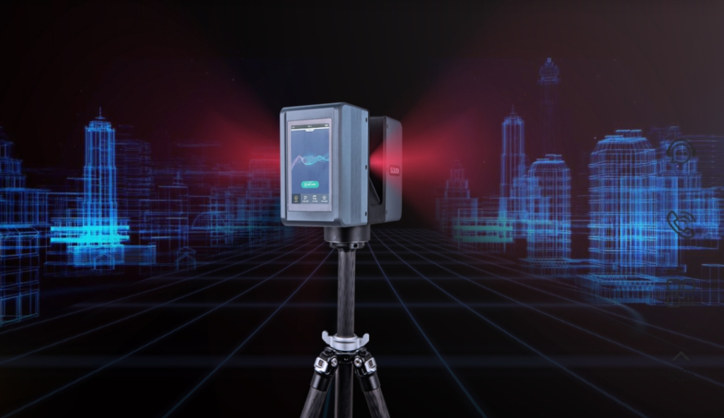
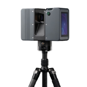
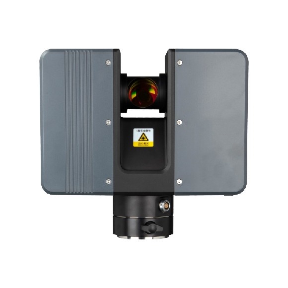
SP1500 3D Laser Measurement System – Unleashing Precision and Efficiency
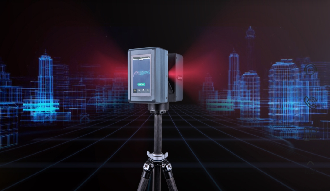
The SP1500 3D Laser Scanner is a high-performance, precision scanning tool designed for a wide range of applications, including surveying, architecture, heritage preservation, industrial inspections, and more. With its robust features and advanced technology, the SP1500 is built to meet the demands of complex projects requiring accurate and efficient data collection.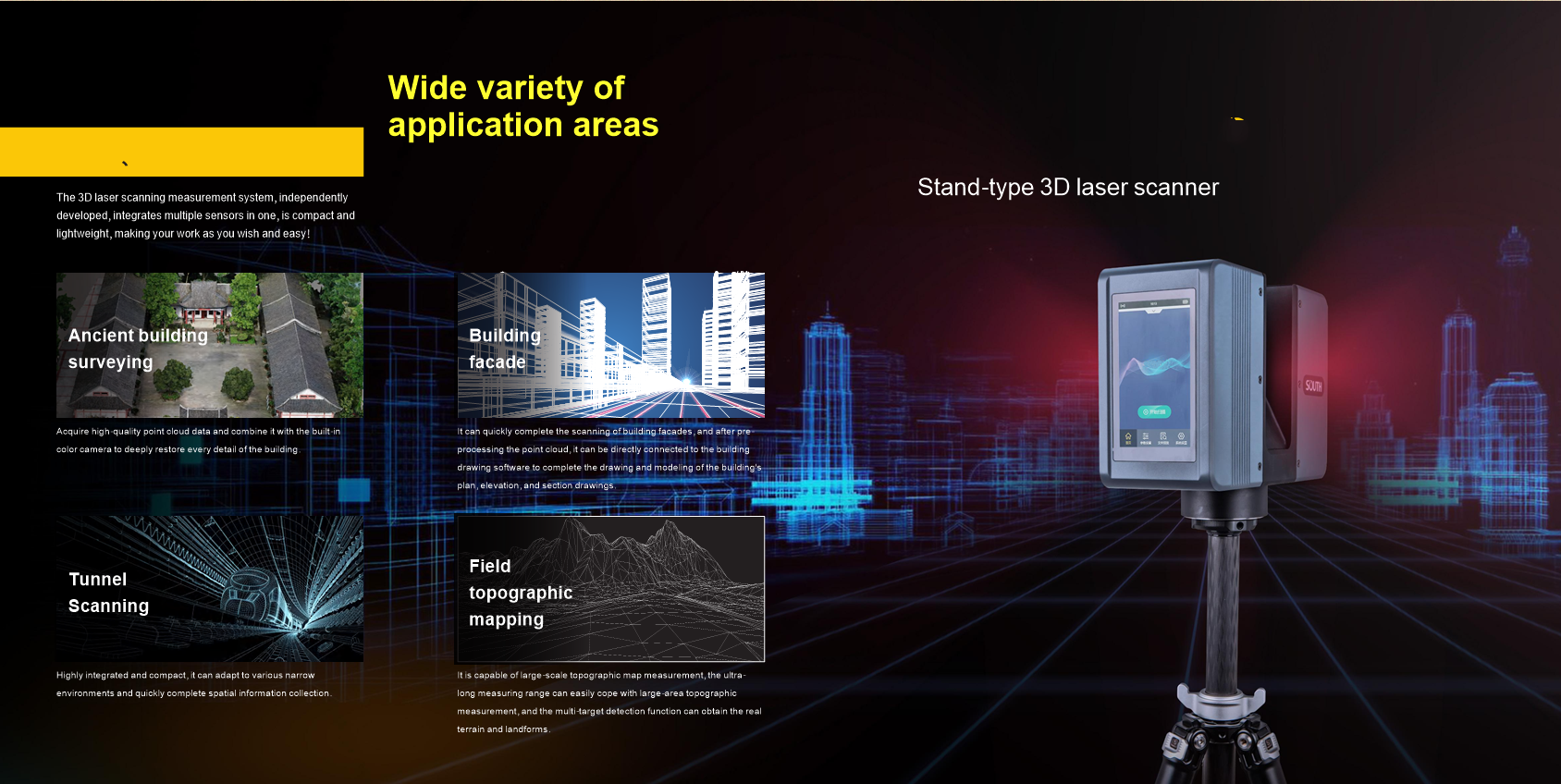
Key Advantages:
Exceptional Precision
The SP1500 delivers millimeter-level accuracy, making it perfect for high-precision applications such as industrial measurements, reverse engineering, and quality control. Its precise data capture ensures reliable results for even the most demanding projects.
Extended Range
With a maximum scanning range of 1500 meters, the SP1500 is ideal for large-scale site mapping, terrain modeling, and other extensive surveying applications. It effortlessly handles vast areas, reducing the need for multiple scanning setups.
Rapid Scanning Speed
Equipped with high-speed scanning capabilities, the SP1500 efficiently captures data from complex terrains and large sites. This allows for faster project turnaround times and increases overall productivity.
 Versatile Applications
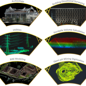
The SP1500 is suitable for a wide array of applications, including:
Terrain modeling
Building Information Modeling (BIM)
Tunnel measurements
Mining monitoring
Its adaptability makes it a valuable tool across various industries, ensuring precise and reliable results in any environment.
Powerful Data Processing
Bundled with advanced software, the SP1500 enables efficient data processing and point cloud analysis. This allows for the creation of high-quality 3D models and detailed measurement reports, streamlining the data interpretation process.
Built for Tough Environments
Designed to endure the harshest conditions, the SP1500 operates reliably under extreme temperatures, humidity, and inclement weather. Its rugged build ensures consistent performance in challenging environments, making it ideal for fieldwork in difficult conditions.
Portability and Ease of Use
The SP1500 boasts a lightweight, compact design, making it easy to transport and deploy on-site. Its user-friendly interface, featuring a touchscreen and remote-control functionality, allows for quick and intuitive operation, even without extensive training.
Integrated Sensor Technology
Equipped with an IMU (Inertial Measurement Unit) and GNSS, the SP1500 supports total station functionality for precise positioning, even in challenging and complex terrains. This integration ensures accurate georeferencing and improves data reliability.
Efficiency and Cost Savings
The high level of automation reduces the need for manual intervention, leading to substantial time and cost savings. Faster data collection and processing mean that projects are completed more quickly, reducing labor costs and improving overall project efficiency.
Customizable Solutions
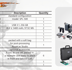
The SP1500 is compatible with a wide range of optional software and accessories, allowing for customization based on specific project needs. Whether you need enhanced data visualization or specialized modeling tools, the SP1500 can be tailored to suit your requirements.
技術的パラメータ
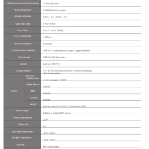
The SP1500 3D Laser Measurement System provides a comprehensive suite of features designed for maximum performance and versatility. Below are the key technical specifications:
Measuring accuracy: ≤ 3mm@100m
最大範囲: 1500 meters
Scanning speed: Up to 2 million points per second
Data output: Point cloud data, 3D model, measurement report
Interface: Touch screen, remote control
Connection: Wi-Fi, USB, Bluetooth
Power supply: Rechargeable battery, AC adapter
Operating temperature: -20°C to +60°C
Weight: 6 キログラム (portable design)
Sensor: Integrated IMU, GNSS, altitude sensor, compass
Software: Bundled data processing and point cloud analysis software
Certification: IP64 (waterproof and dustproof)
Conclusion
The SP1500 3D Laser Measurement System combines precision, 効率, and versatility, making it an indispensable tool for a wide variety of industries. Whether you’re mapping large terrains, performing detailed architectural scans, or inspecting industrial sites, the SP1500 ensures high-quality data collection and seamless project execution. With its user-friendly design, powerful data processing capabilities, and adaptability to different environments, the SP1500 is the future of 3D laser scanning.
Explore the capabilities of the SP1500 and elevate your projects to new heights of precision and efficiency. For more information or to discuss your specific needs, please contact us today.
 賢い
賢い
