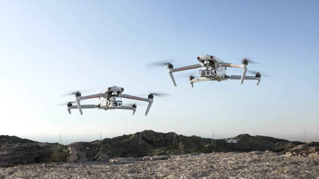
Patrol UAV Max
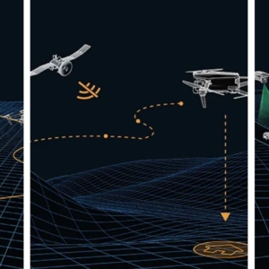
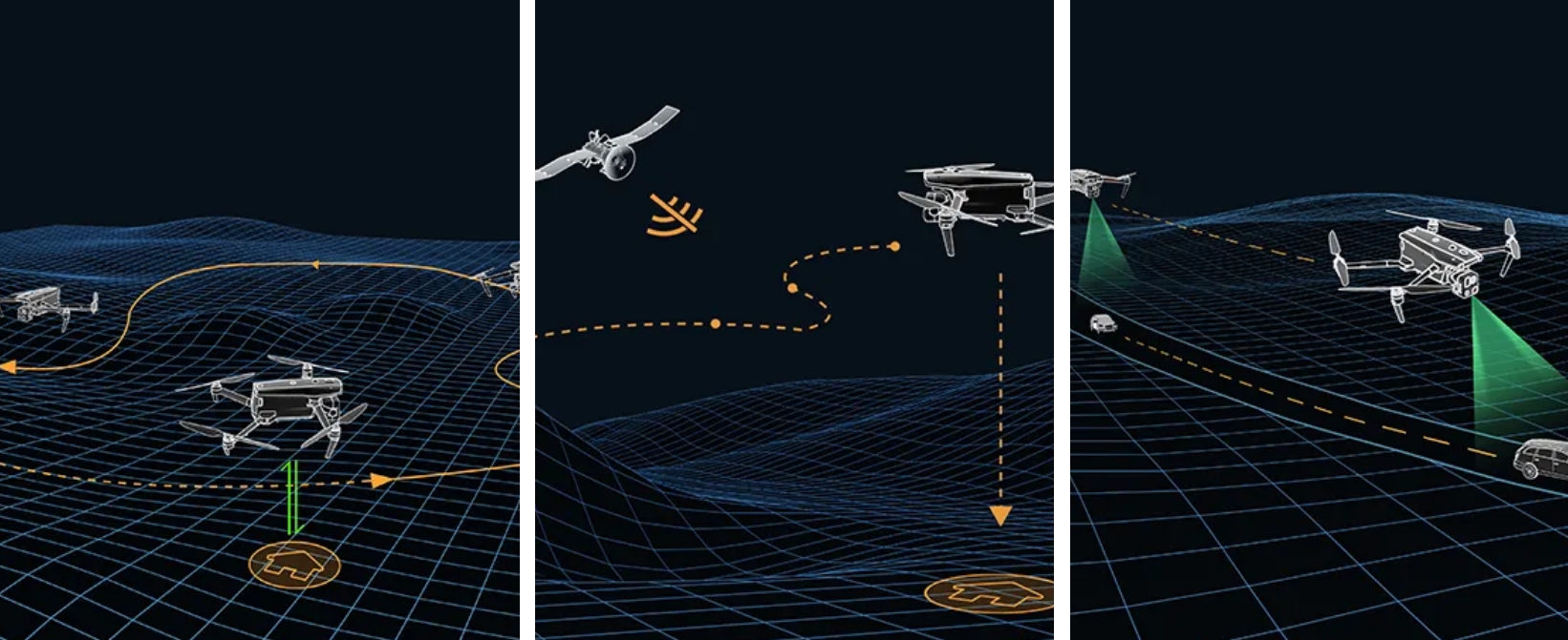
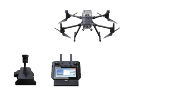
The Patrol UAV Max utilizes Autel Autonomy’s advanced autonomous flight technology, enabling global path planning, 3D scene reconstruction, autonomous obstacle avoidance, and return-to-home capabilities in complex environments. Its high-precision visual navigation system ensures stable and reliable flight even in challenging conditions such as strong signal interference, signal blockage, or weak signals, providing accurate, low-latency navigation and positioning.

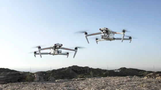
Equipped with the industry-first A-Mesh networking technology, the Patrol UAV Max supports seamless multi-device networking, allowing for comprehensive air-ground network coverage. Its multi-source sensor fusion technology, which combines stereo fisheye cameras and millimeter-wave radar, provides 720° omnidirectional situational awareness and obstacle avoidance, ensuring comprehensive and safe operation.
The Patrol UAV Max series is equipped with various advanced cameras, including the Fusion Camera 4T, Fusion Camera 4T XE, and Fusion Camera 4N. These systems integrate zoom cameras, ultra-low-light night vision cameras, high-sensitivity wide-angle cameras, infrared cameras, and laser rangefinders, making it an ideal tool for a variety of applications, such as public safety, energy inspection, and emergency management. It sets a new benchmark in the drone industry for operational efficiency and versatility.
Key Features:
- 720° Omnidirectional Obstacle Avoidance
- Autonomous Flight Technology for complex path planning and obstacle avoidance
- A-Mesh Networking for seamless air-ground network coverage
- High-Precision Visual Navigation for reliable performance in signal-challenged environments
- Multi-Sensor Fusion with fisheye, millimeter-wave radar, and advanced optical technologies
- Advanced Payloads for diverse applications, including night vision, thermal imaging, and laser rangefinding.

Autonomous Flight Planning
Leveraging Autel Autonomy’s advanced autonomous flight technology, the drone continuously collects environmental data in real-time, enabling global path planning, 3D scene reconstruction, autonomous obstacle avoidance, and return-to-home capabilities in complex environments such as mountains, forests, and urban areas. This empowers industries like security, inspection, and surveying with enhanced operational efficiency. - High-Precision Visual Navigation
Even in challenging environments with satellite signal interference, weak signals, or signal obstructions between urban buildings, the drone maintains high-precision and low-latency distance and coordinate information. Utilizing SLAM (Simultaneous Localization and Mapping) visual navigation technology, it ensures stable flight and accurate navigation, both indoors and outdoors. - Ultra-Precise Target Identification and Tracking
The drone offers flexible payload options and utilizes AI-based image recognition technology to automatically identify and precisely track various targets, including heat sources, moving people, and vehicles within the observation area. This enables accurate data collection for monitoring and surveillance applications. 720° Omnidirectional Obstacle Avoidance
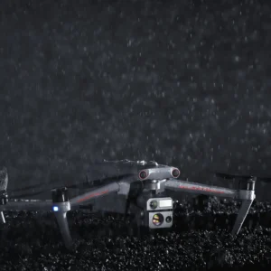
With a multi-source sensor fusion technology combining stereo fisheye cameras and millimeter-wave radar, the Patrol UAV Max is capable of 720° omnidirectional awareness and obstacle avoidance. This allows the drone to operate in complex environments, including over water surfaces and near high-voltage power lines, while also being immune to interference from dust, fog, rain, or snow. Even in nighttime operations, it ensures safe flight with reliable obstacle detection. - Enhanced Anti-Interference for Stable Flight
The integrated flight control unit, GNSS receiver, and video transmission module ensure the UAV can recognize and mitigate interference from flight control signals and satellite positioning. This provides the drone with exceptional flight stability, even in challenging environments with high levels of interference. - Industry-First Air-Ground Integration: A-Mesh Networking Solution
 The Patrol UAV Max introduces the industry-first A-Mesh networking technology, allowing seamless multi-device networking between drones and ground terminals. It supports various operational modes, including “one controller, multiple drones” e “master-slave dual control.” This feature enables collaborative missions even in long-distance, obstacle-heavy environments, such as flying over mountains, buildings, or areas with no network coverage. It overcomes traditional UAV operational limits and provides comprehensive air-ground network coverage for complex terrains.Upgraded Video Transmission Performance
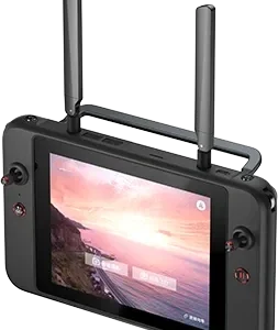
Equipped with four transmission antennas, the Patrol UAV Max provides a communication range of up to 15 kilometers between the drone and the ground control terminal. It supports adaptive frequency hopping between 2.4GHz and 5.8GHz bands, automatically selecting the optimal channel based on electromagnetic interference. With real-time video transmission at 1080P @ 30FPS and a high transmission rate of 64Mbps with less than 150ms latency, the system ensures high-quality and responsive data transmission. AES encryption is used for both video transmission and storage to guarantee secure communication and prevent eavesdropping.
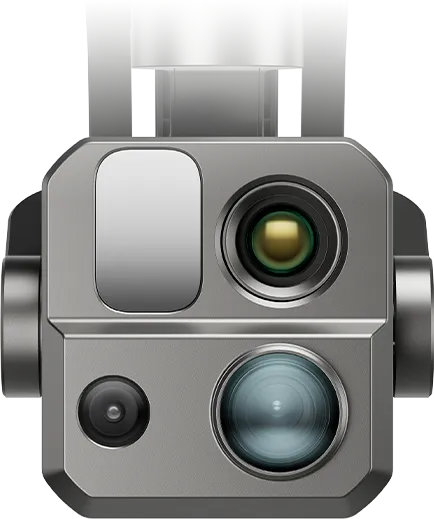 Fusion Imaging for Enhanced Performance
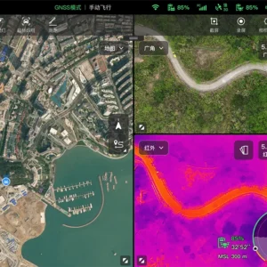
The Patrol UAV Max is equipped with a 160x zoom camera, ultra-sensitive wide-angle camera, infrared camera, and laser rangefinder. The model also features the ultra-low-light gimbal camera, which integrates ultra-low-light night vision, wide-angle, infrared, and laser rangefinding capabilities. The intelligent collaboration between multiple sensors ensures all-weather operation, making complex tasks easier than ever before.
Multiple Task Modes for Enhanced Efficiency
 The accompanying app offers various mission modes, including waypoint tasks, polygonal tasks,and circular modeling. Users can import captured images into modeling software to create 2D or 3D models. This flexibility makes the drone suitable for a wide range of applications, including surveying, inspection, patrolling, and search and rescue.
🔗Fale Conosco
✅ Website: greenimtech.com
✅ Email: jackl@greenimtech.com
🔗More industry information
Trimble Global leader in measurement and positioning technology: https://www.trimble.com
Septentrio GNSS anti-interference antenna expert, technical supplement for positioning in complex environments: https://www.septentrio.com
Topcon positions itself as the benchmark for construction automation, a cross-industry reference for our construction guidance system: https://www.topconpositioning.com
A pioneer in the field of Velodyne Lidar, enhancing the 3D modeling and mapping capabilities of Haida UAVs: https://www.velodynelidar.com 3D LiDAR
DJI, the global leader in drones, collaborates with our unmanned ship and RTK equipment ecosystem: https://www.dji.com
Quanergy, an innovator in solid-state LiDAR, complements our UWB positioning in autonomous driving: https://www.quanergy.com
State Grid, our core customer of power + positioning solutions, shows a transmission line monitoring case: http://www.sgcc.com.cn
EDF Group Global Energy Benchmark, the international benchmark for our water monitoring: https://www.edf.com
FiRa Coalition UWB technical standards organization provides technical certification for our UWB integration positioning: https://www.firacoalition.org
IGS (International GNSS Service) Global satellite navigation authority, our Beidou Ground Augmentation System authoritative link: https://www.igs.org
 Inteligente
