3D laser measurement
Background introduction
Traditional topographic surveying and mapping uses RTK, total station and other equipment to collect limited measurement point information in the field, and then generates a topographic map after processing by digital mapping software. Traditional methods are time-consuming and labor-intensive, especially in some dangerous areas and difficult slope locations that are difficult to reach. Data collection takes a long time, and the work intensity of surveyors is high. If you are not careful, it is easy to cause safety accidents.
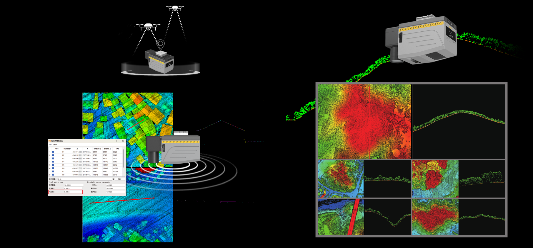
In recent years, with the continuous upgrading of surveying and mapping technology, 3D laser scanning technology has been widely used in the surveying and mapping industry. It has the characteristics of fast, meticulous and high precision, which greatly reduces the working time and intensity of surveyors, and greatly improves the efficiency of surveying and mapping. In some special areas, it has incomparable advantages over traditional measurement methods.

Soluție
1. Mobile measurement system with manned helicopter
It is suitable for complex terrain mapping with large-area blocks, long-distance strips, and large terrain undulations. It meets the production accuracy requirements of DEM/DOM/DSM/DLG results of various scales such as 1:500/1:1000/1:2000, and has high efficiency and high precision operation characteristics.
2. Mobile measurement system with drone
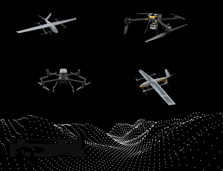
The use of multi-rotor drones or vertical take-off and landing fixed-wing drones equipped with laser radar mobile measurement systems can save costs while ensuring efficiency and accuracy, and provide a variety of drone platform options with a flight time of 40min-120min, which can be flexibly selected according to the scale of the survey area and project accuracy requirements.
 Inteligent